
The Neighborhoods at Summit Park Bue Ash, Ohio
Services Provided
Master Planning
Urban Design
Private & Public Realm Design
People Involved
Kevin Dicke
Lavonne Grosjean
Developing a neighborhood with a mix of offerings, from a city’s former airport property.
MKSK’s involvement with Summit Park and the associated airport redevelopment began in 2006 with the initial conceptualization of programming and design opportunities for the Blue Ash Airport property. In 2011, Blue Ash selected MKSK to lead a multidisciplinary design team in the establishment of the public process that resulted in both the master plan for the park and the land use plan for the surrounding district.
Since 2012, MKSK has worked directly under the City of Blue Ash to complete the design and documentation of the park’s Main Street, Great Lawn, Discovery Playground, Nature Play Area, Stream Restoration and Pond Complex and have assisted MSA Architects and KZF Design in completing the design of the buildings and site infrastructure needed to bring this ambitious, multi-faceted project from concept to reality.The 130-acre park supports a world-class array of programming and amenities centered on musical events, dining, and entertainment and is serving as a catalyst for significant new investment throughout the city.
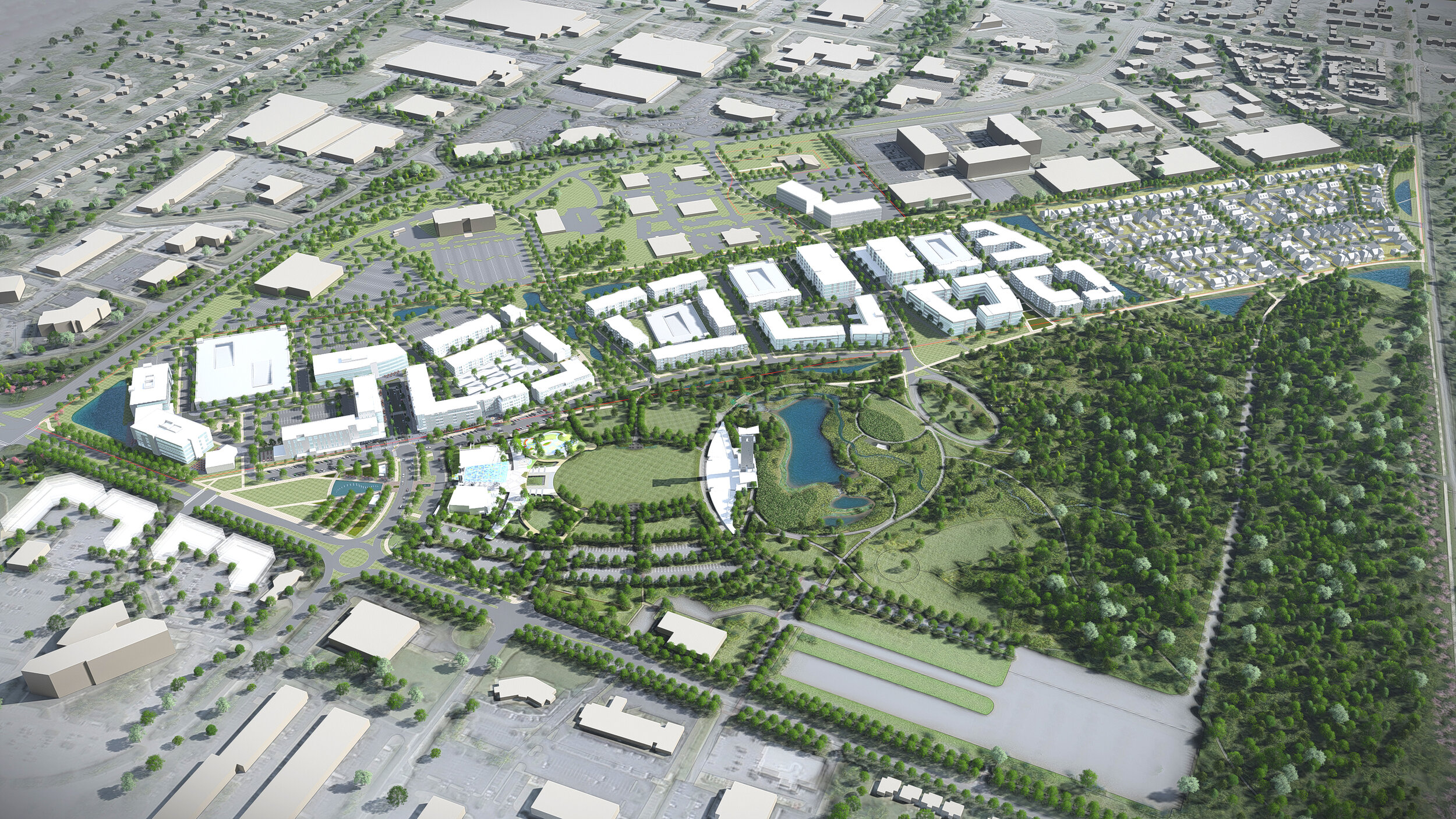
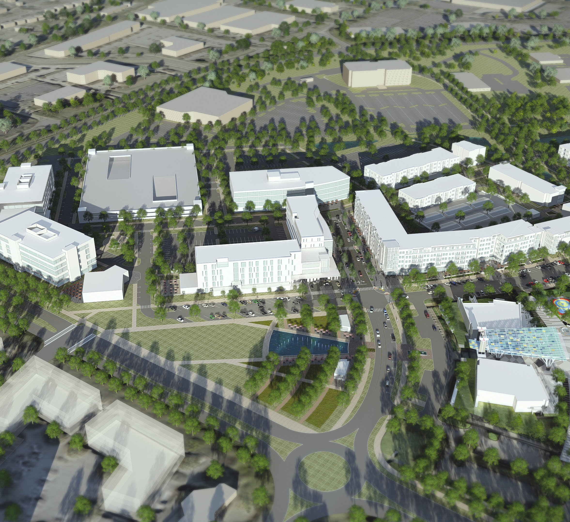
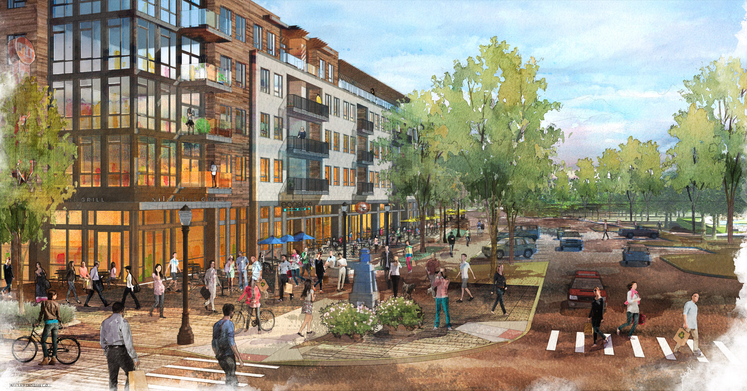
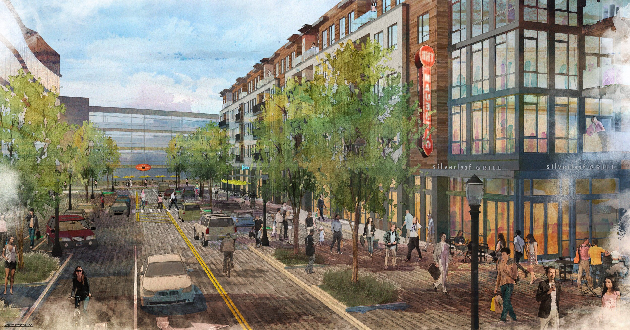
In 2015, MKSK was retained by the development partnership of Al Neyer, Inc. and Vandercar Holdings as the lead planning and design firm behind the establishment of “The Neighborhoods at Summit Park” – a 108-acre, $350 million walkable mixed-use district now being constructed along the runway of the former airport.
The Neighborhoods at Summit Park Master Plan embraces three basic design principles as the foundation for the establishment of a vibrant mixed-use neighborhood:
Leverage the Value of the Park and Open Space Network
Create a Diverse Mix of Uses with Shared Infrastructure
Provide a Walkable/Bikeable Street Network
Leverage the Value of the Park and Open Space Network - The land plan for the Neighborhoods at Summit Park integrates the open space network of Summit Park with the natural systems, greenways and civic spaces of the former airport property and extends the open space network to the south and east along the headwaters of Sycamore Creek.


Create a Diverse Mix of Uses with Shared Infrastructure - The land use and leasing plans for the development provide a mix of retail, dining, and residential uses which appeal to the current and future work forces of targeted corporate tenants and offers current residents choices for new housing that meets their evolving lifestyle preferences and needs. The compact nature of the land plan makes more efficient use of the city’s shared development infrastructure, lessens vehicular trip generation, and mitigates traffic congestion during peak morning and afternoon drive times.

Provide a Walkable/Bikeable Street Network - Neighborhood streets and greenways include bikeways and multi-purpose trails that provide linkages to the city’s broader trail network and increase mobility and transit options for area residents and commuters.