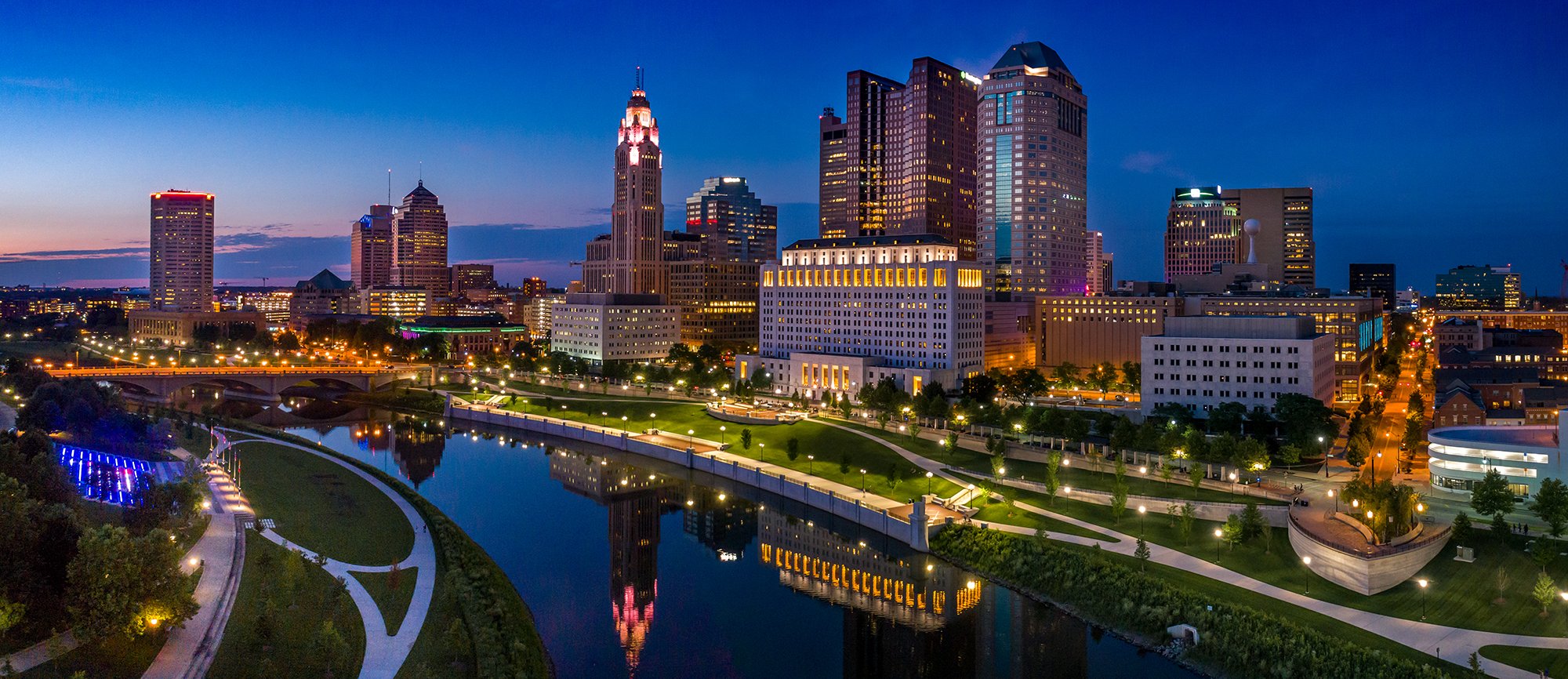
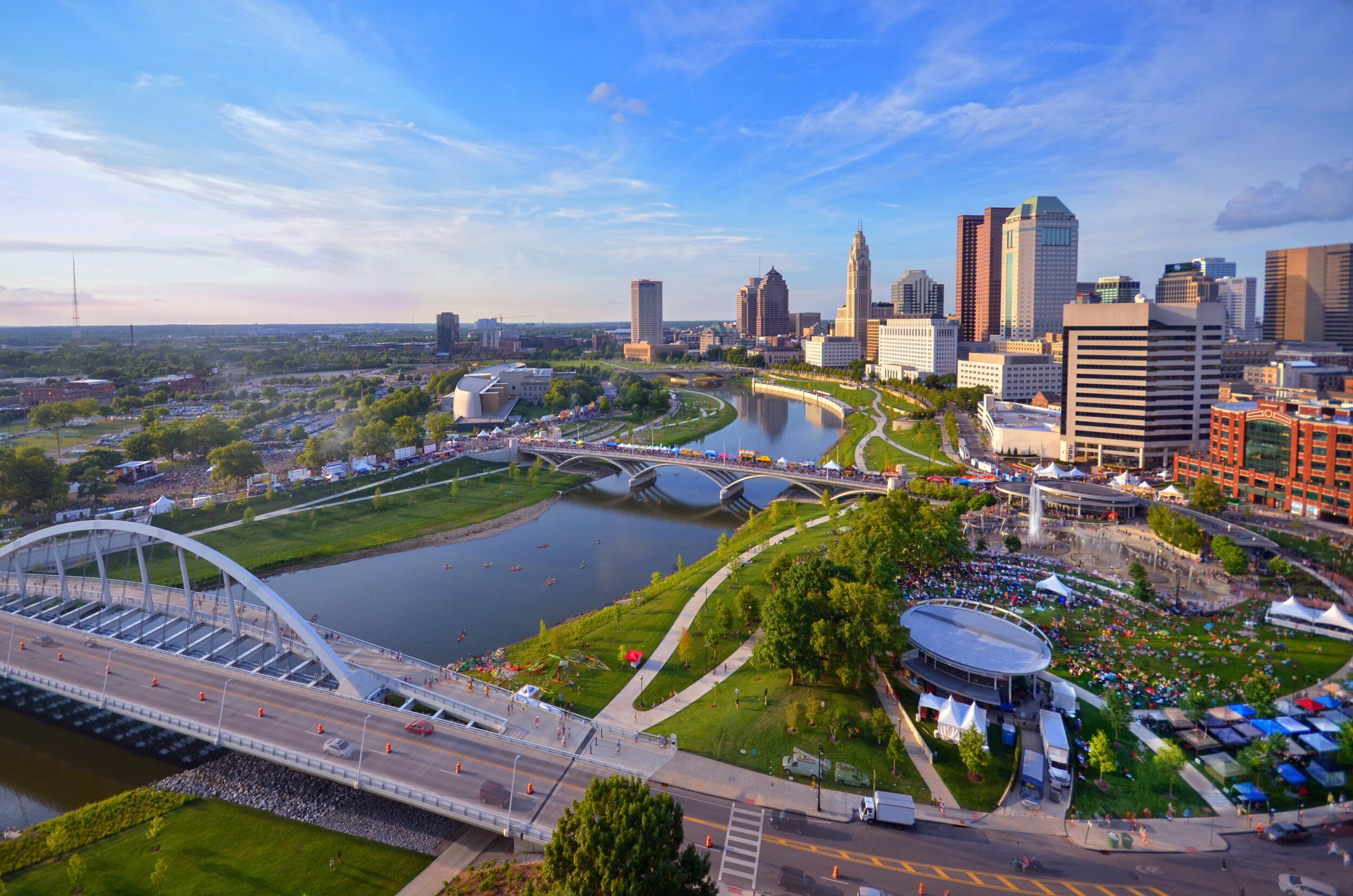
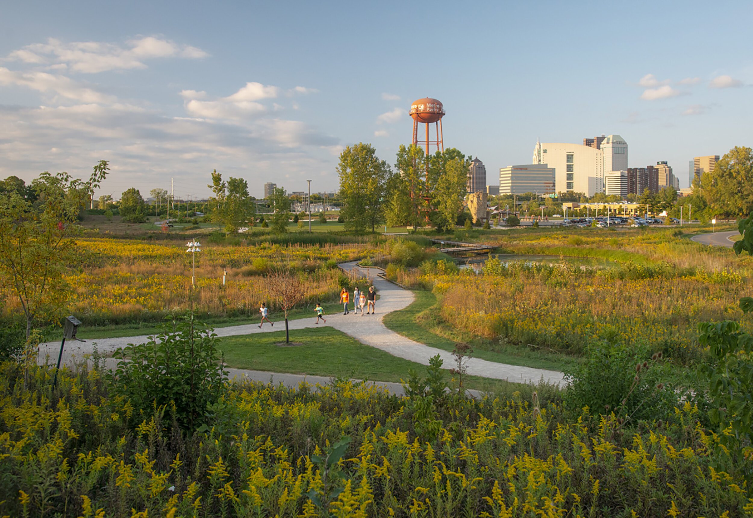
RAPID 5
Download RAPID 5 Information
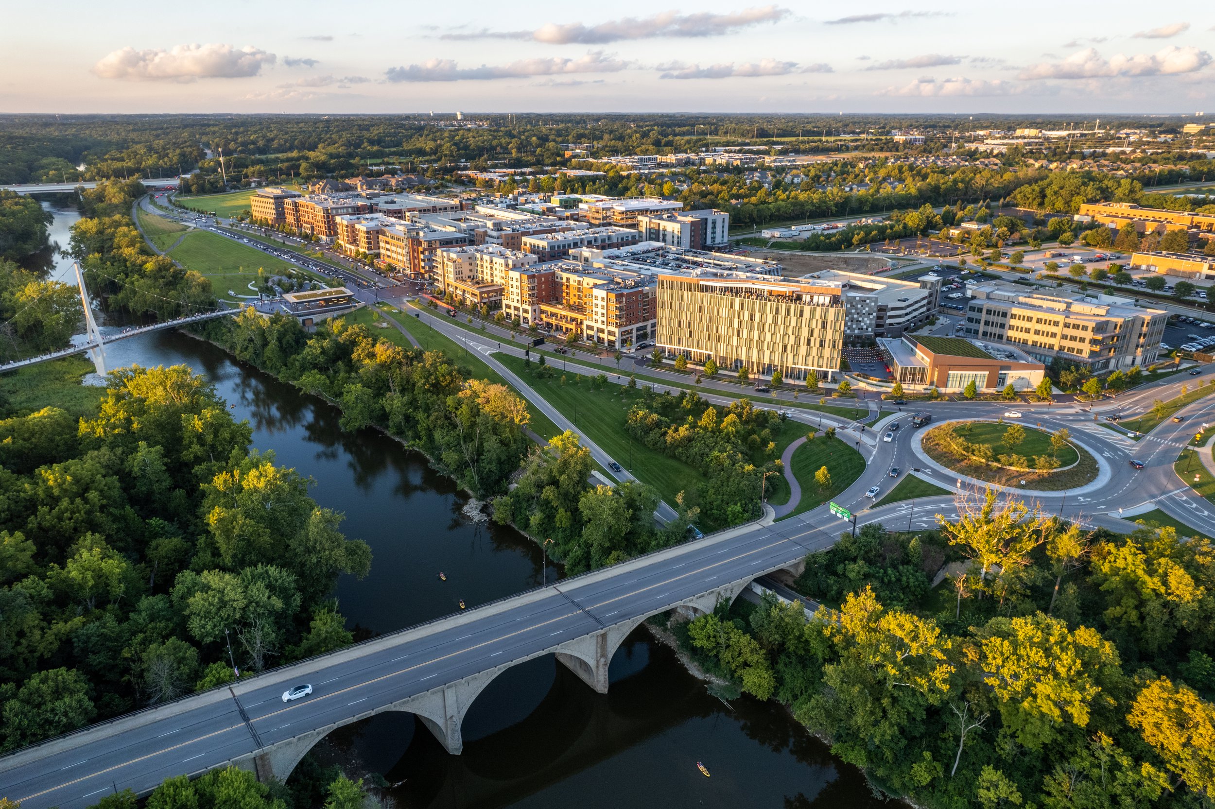
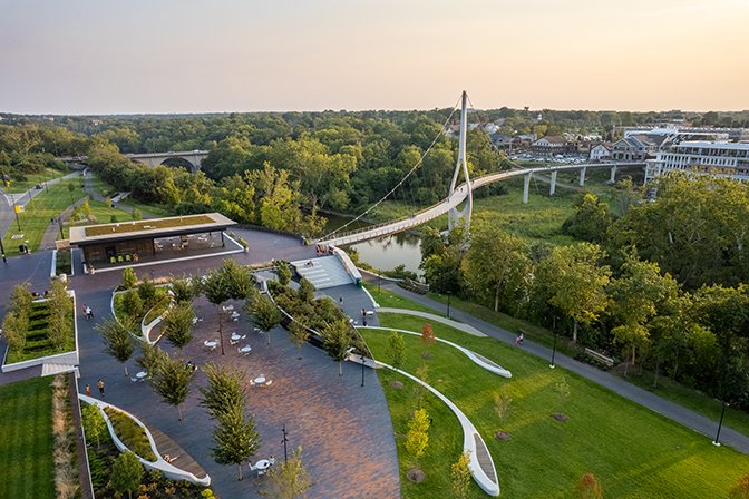
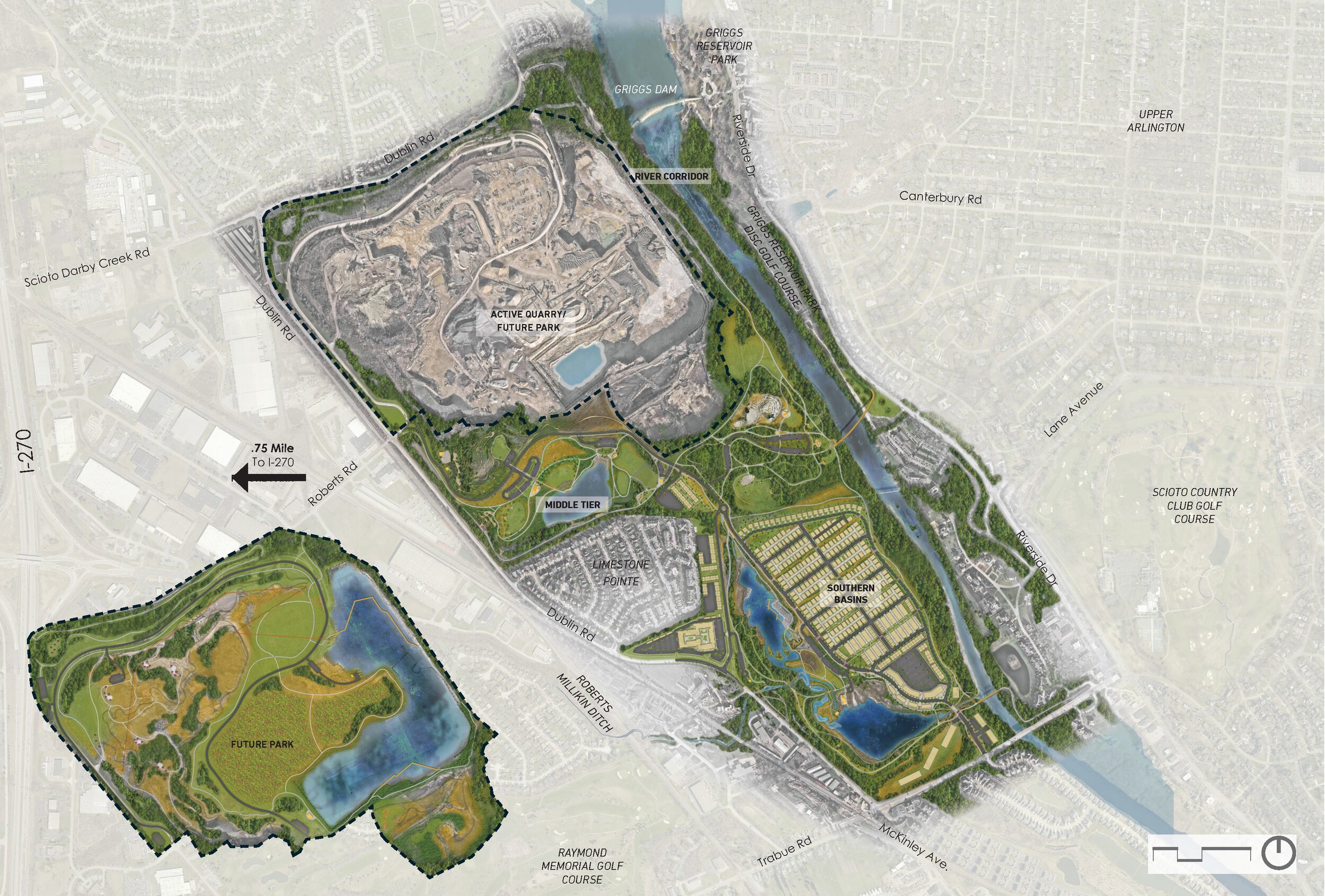
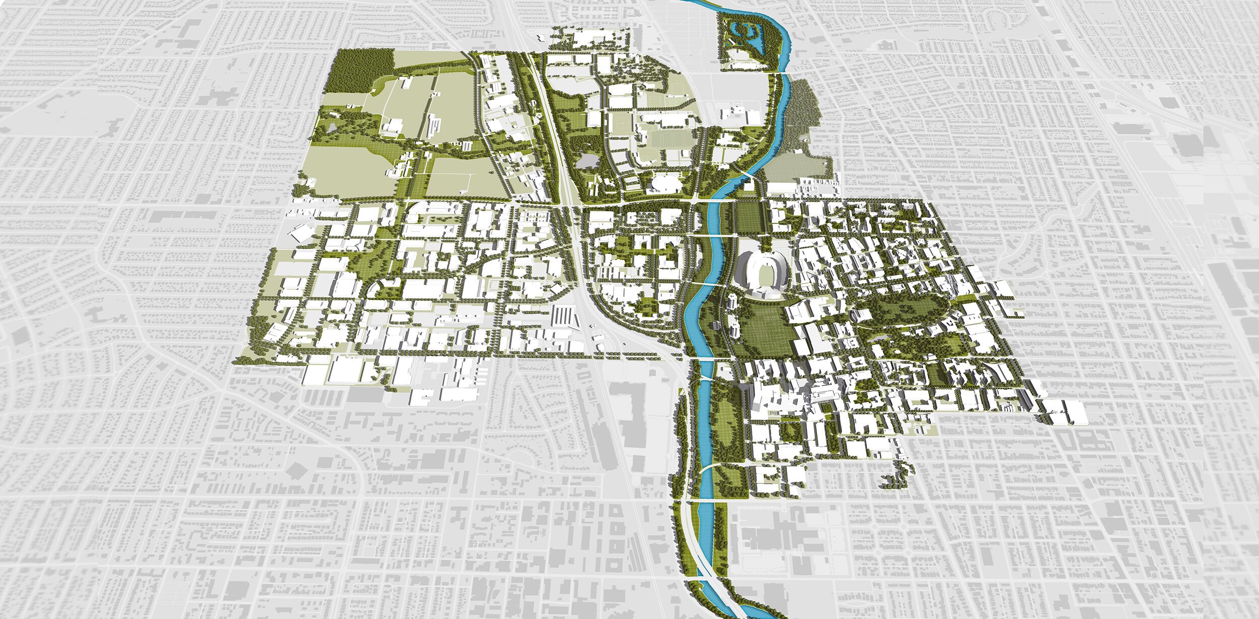
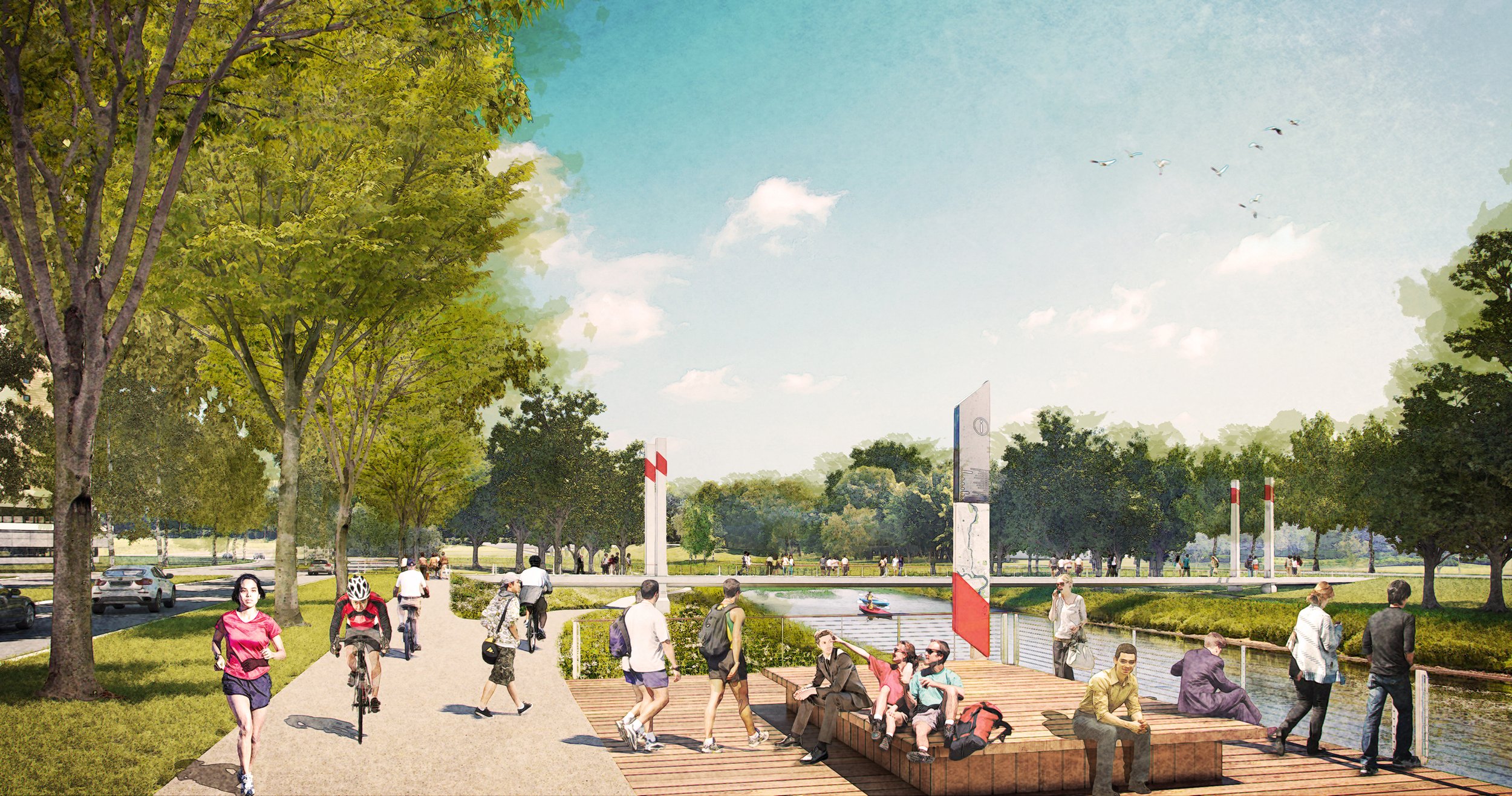
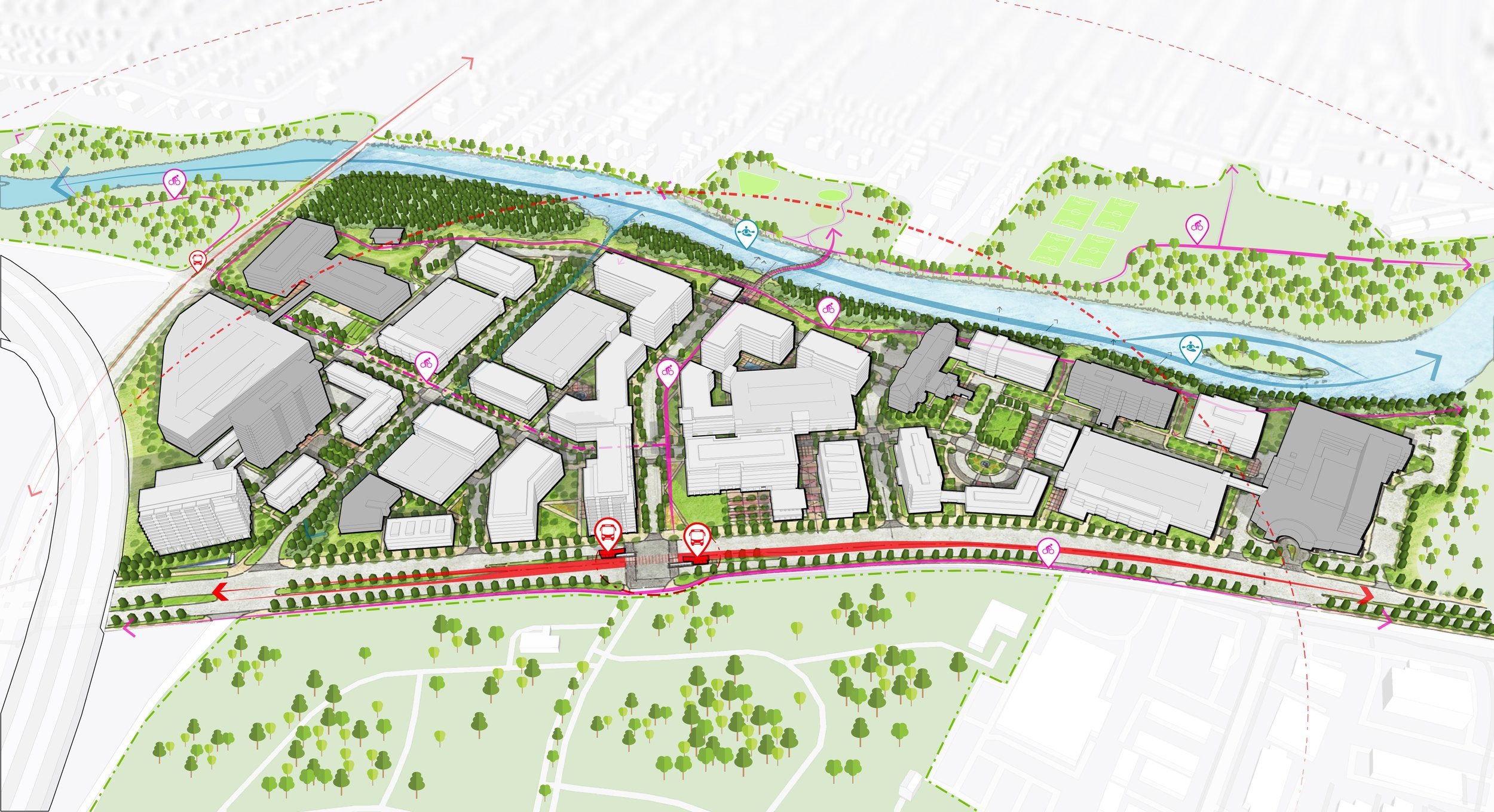
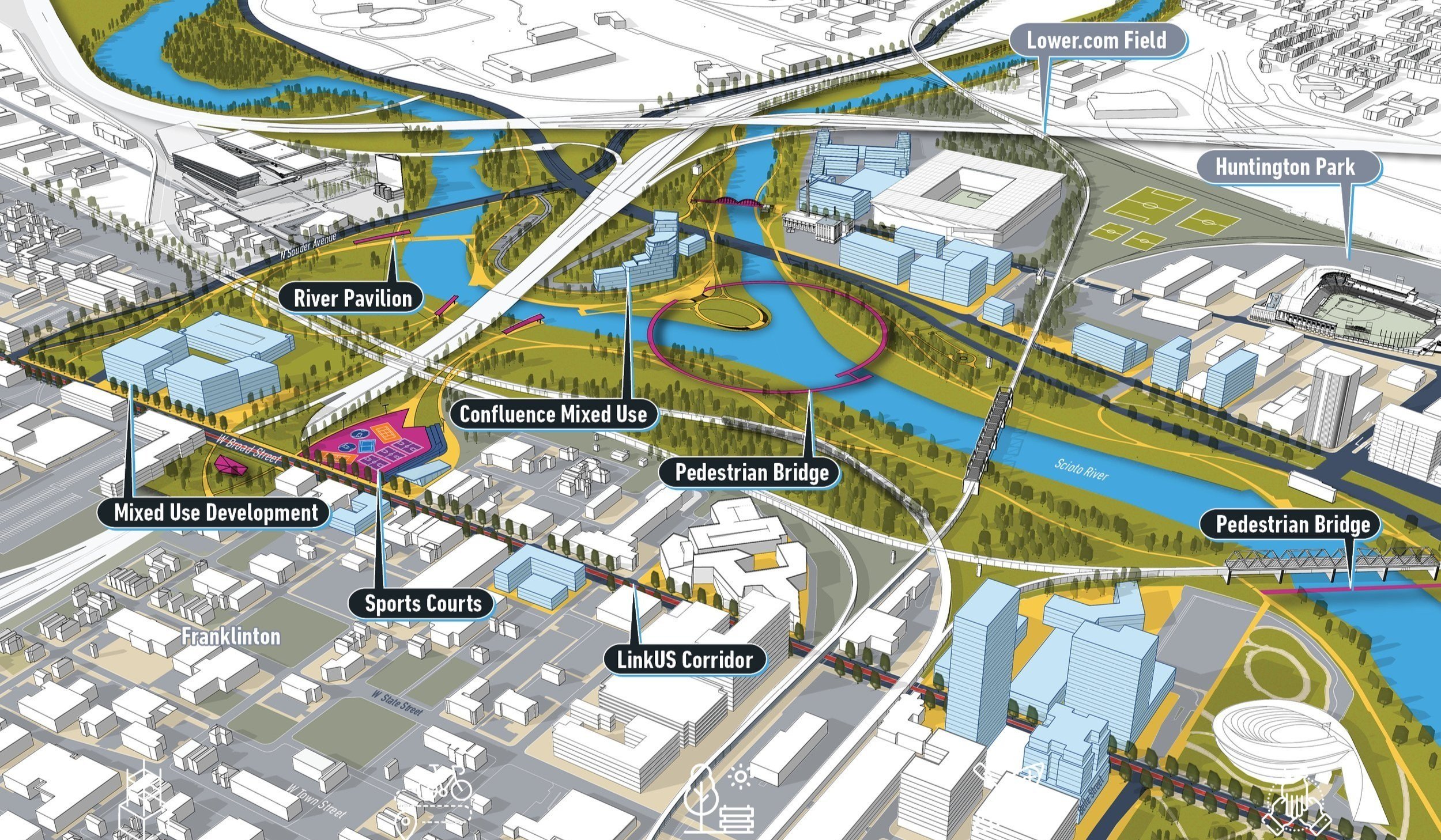
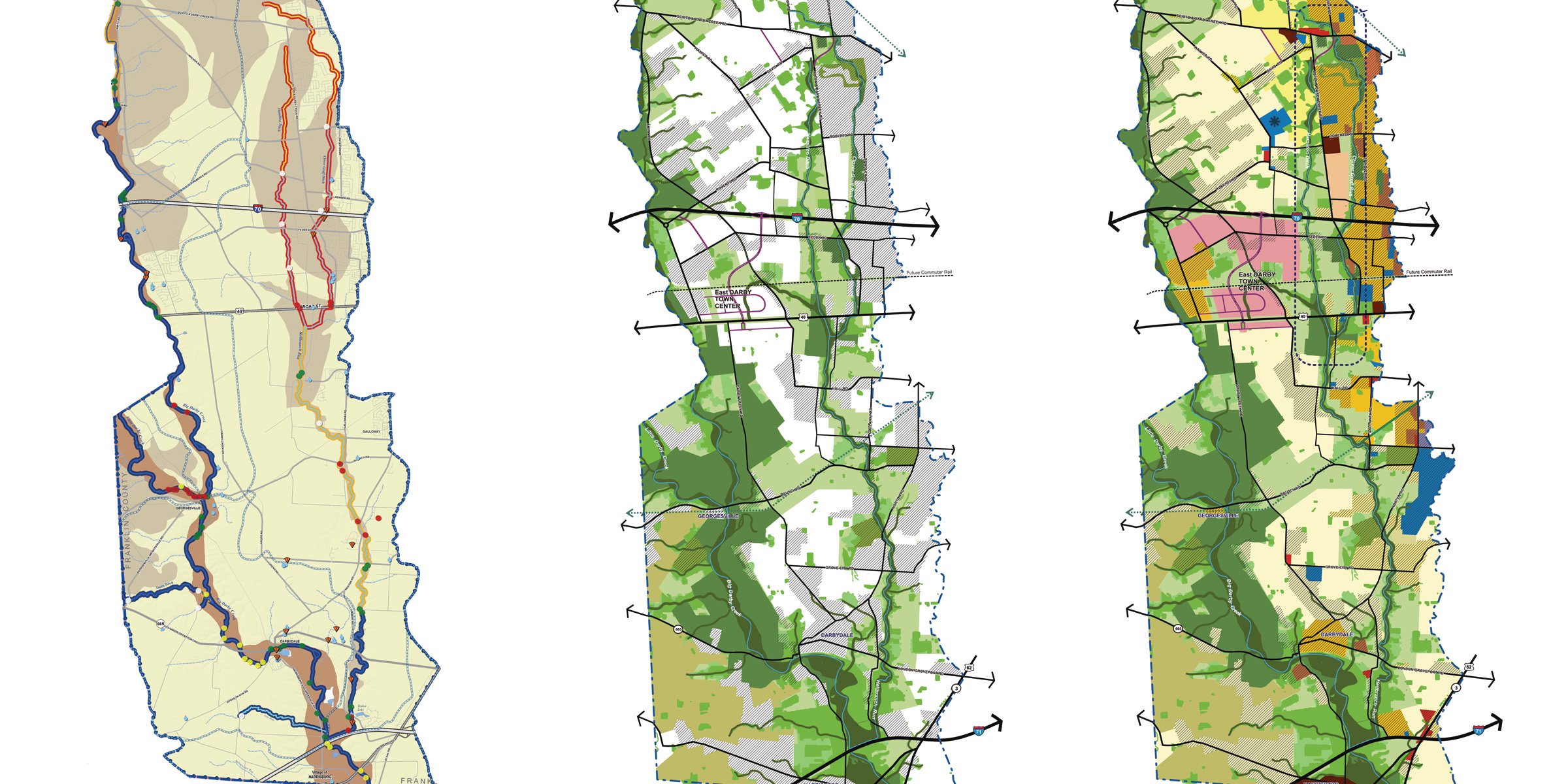
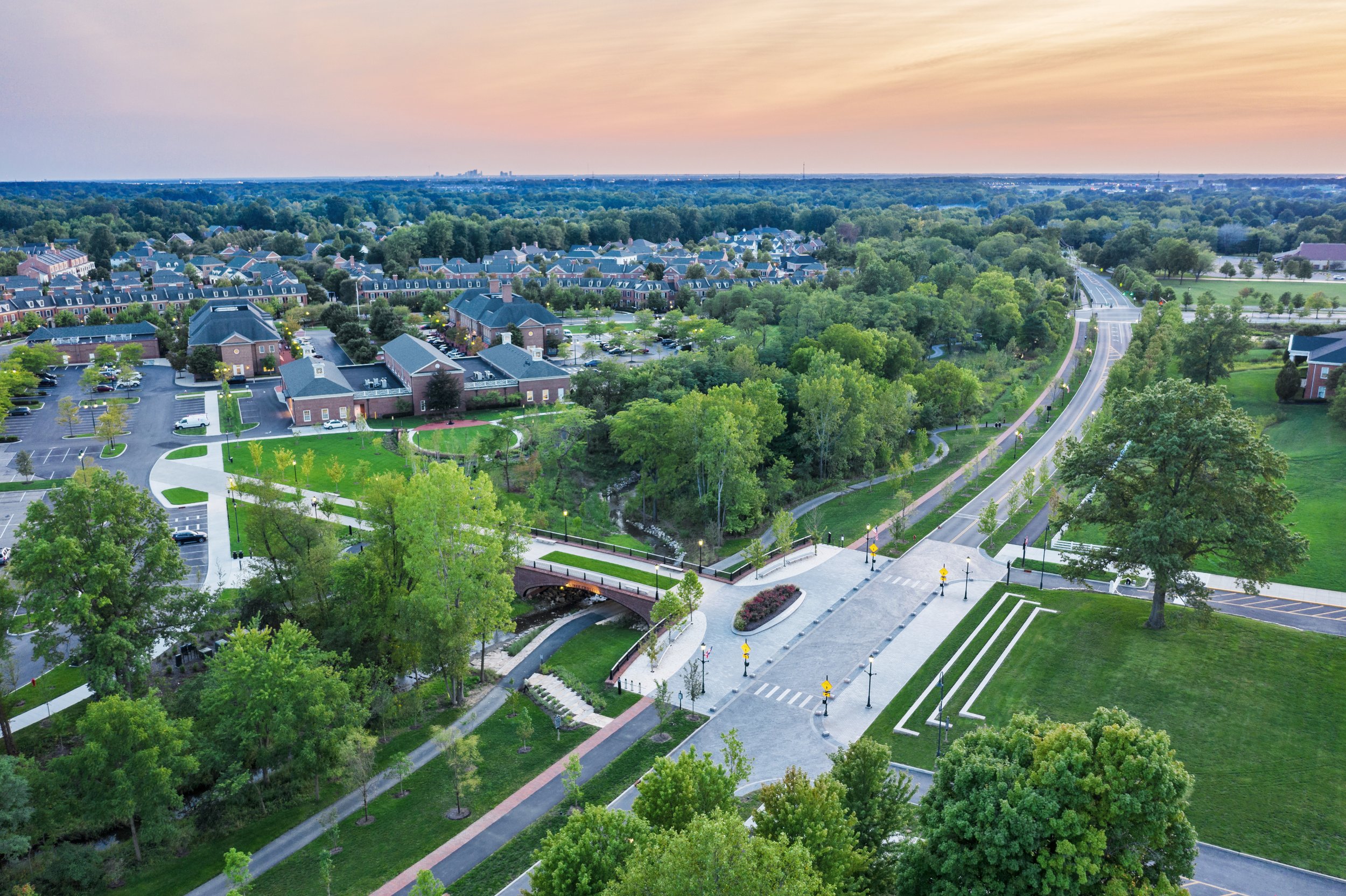
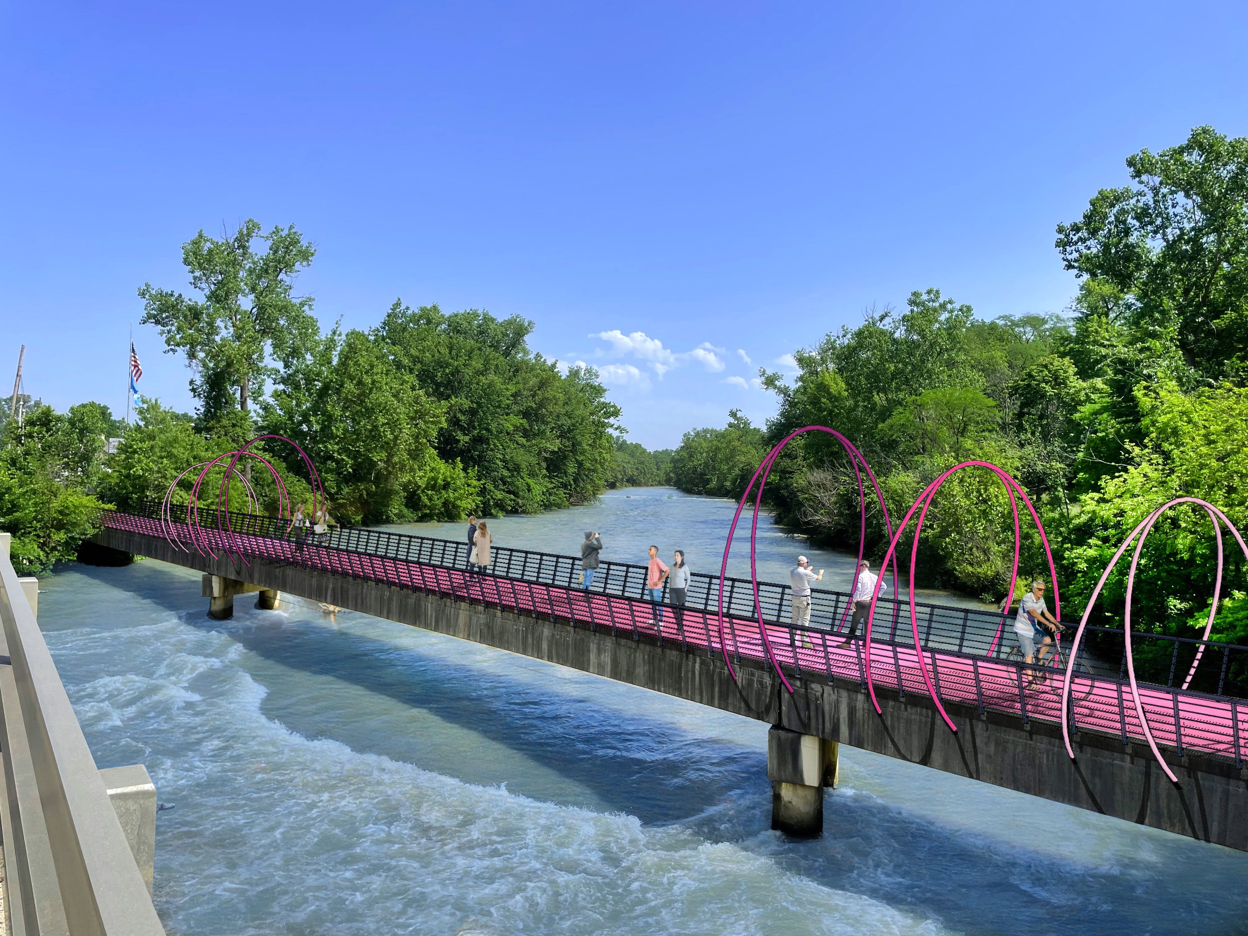
One Central Greenway
RAPID 5 Resources
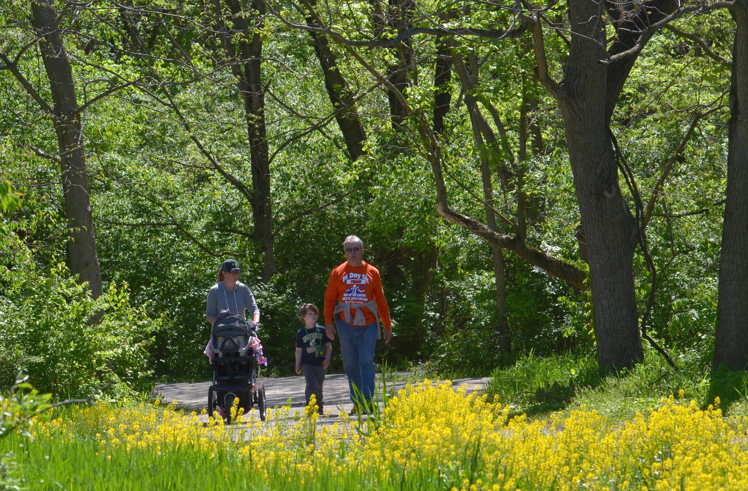
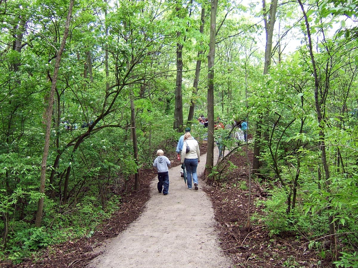
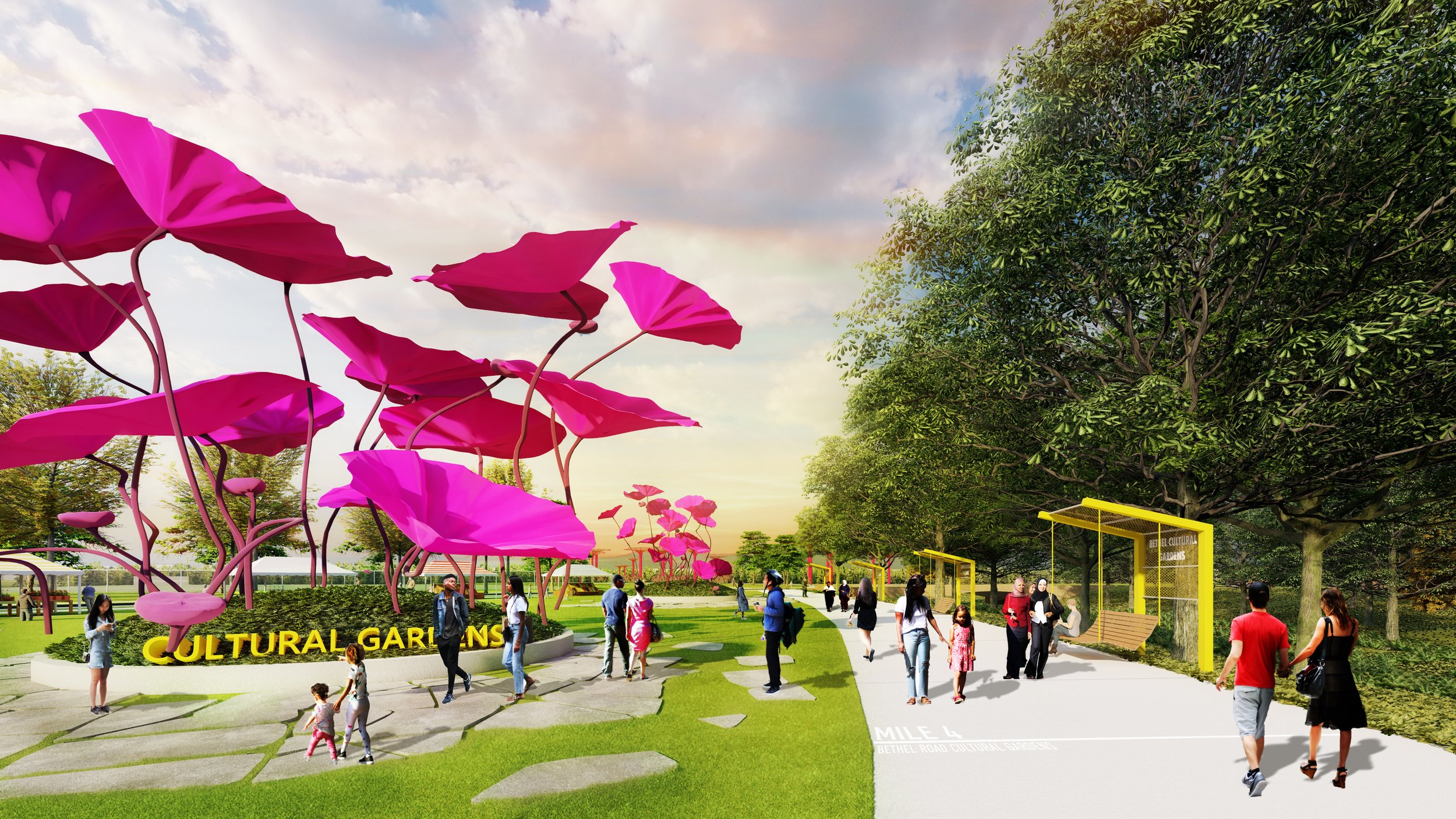
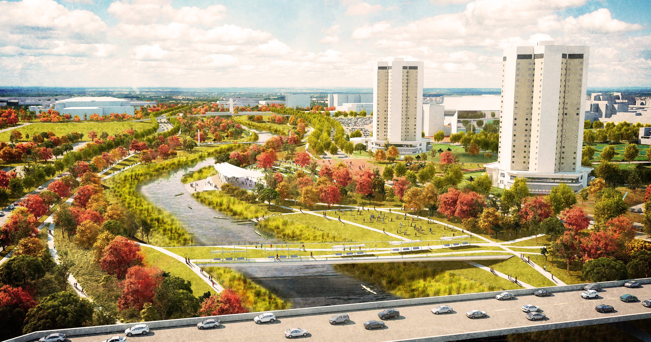
RAPID 5 seeks to redefine Central Ohio’s five major river corridors as multi-layered features that interconnect our communities. The RAPID 5 project unlocks the potential to improve the quality of life for all through the celebration of our shared and cherished natural resources.
“The RAPID 5 vision provides a foundation to unify, strengthen, and connect the diverse communities along Central Ohio’s five major waterways. MKSK is excited and eager for our continued involvement in the implementation of this bold vision throughout the region.“
- The MKSK RAPID 5 Team

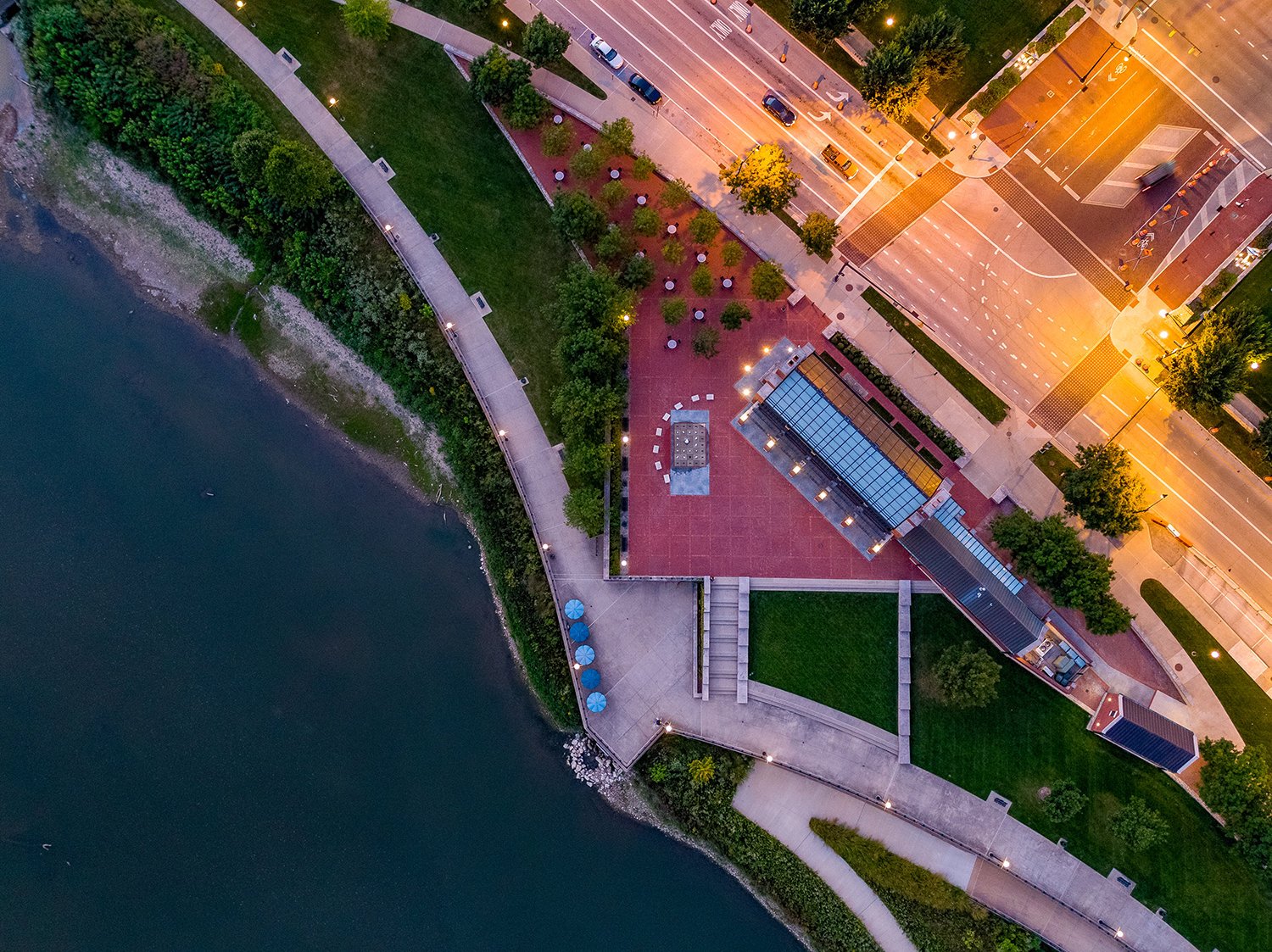
MKSK continues to be engaged in the revitalization, restoration, and development of projects along the five waterways that comprise the RAPID 5 Project.
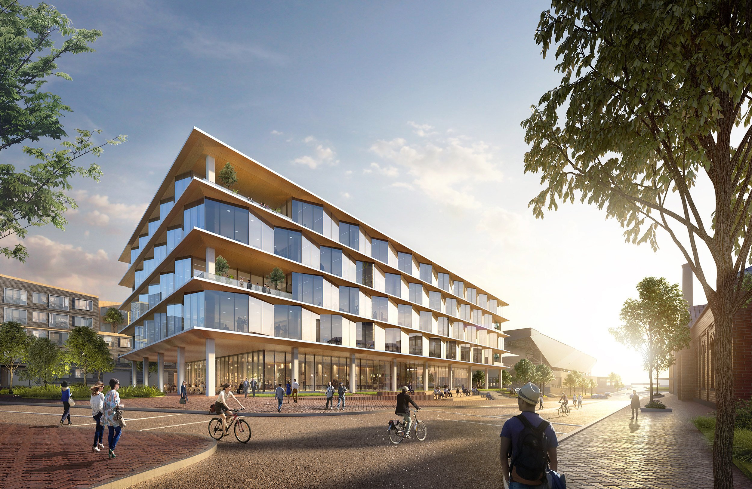
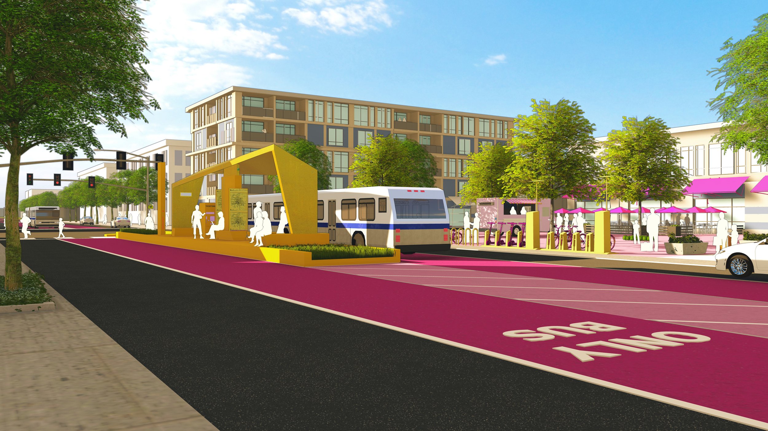
RAPID 5 Impact Projects